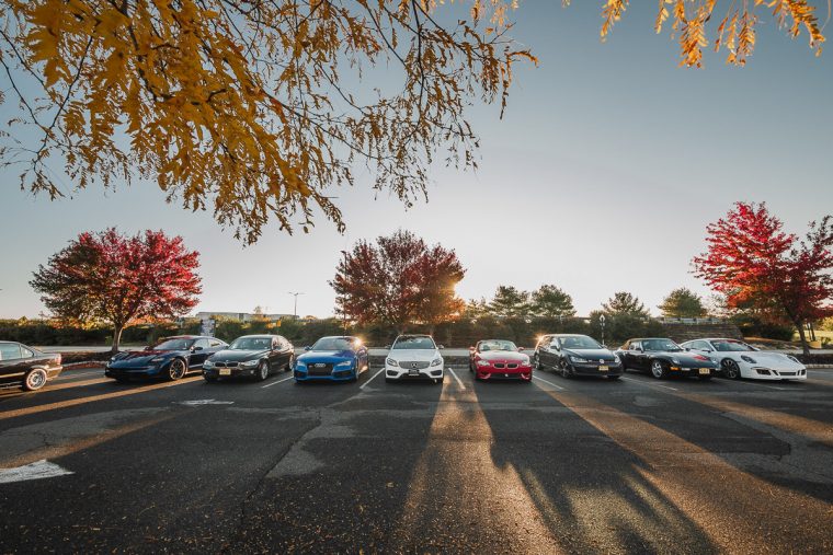
I have a lot of fun flying my drone around the world on my travels, but I thought it would be just as beautiful to film where I live. Thanks to the third-party app Litchi, I can pre-program waypoints for my DJI Mavic Pro, and have it repeatedly fly the same route over and over. I thought this would be a perfect way to get a change in seasons through out the year from different parts of my neighborhood. I setup a few locations where I would like to go back and film, somewhere convenient but still scenic. I was able to use a combination of Google Earth and Litchi Mission Hub to plan all my flights at home, then run test flights in the real world to make minor tweaks. Once I was happy with the flight plan after many attempts, while holding my thumb very closely to the controller’s pause button in case the path led me straight into a tree, I started showing up at all the locations and just hit the play button to let the Mavic do its thing. Long story short, after a year’s worth of footage, I was happy enough to start editing in Adobe Premiere Pro.
The most tedious task was the manually align all the footage to match. The GPS on the Mavic is good, but not perfect. A lot of the footage are misaligned due to inaccurate GPS coordinates by a few feet, and that could lead to very different footage when the objects are so close to the camera. Any minor changes cause a big difference in perspective when trying to align videos. Unfortunately my recordings were not high res enough that scaling clips up to match other clips led to soft parts in the video. This will be fixed in the next project with UHD 4K recording!
I’ve since moved to a new county, and with that comes new scenery and new flight plans. Please enjoy!


